- Home
- Government
- Departments
- Planning and Development
- Sustainability
- Active Transportation
Active Transportation
Promoting Bicycling & Walking
Cleveland Heights wants more trips to be by bicycle or on foot. Trips are to nearby destinations could often be accomplished by bicycling or walking. City staff is dedicated to making Cleveland Heights more conducive to these sustainable means of transportation. Staff has been fortunate to have the support of the Heights Bicycle Coaltion, whose members are working on additional initiatives. The following paragraphs describe projects that are in the works or accomplished in the past few years.
 Cedar Lee Streetscape
A $1.5 million Transportation Alternatives federal grant will help implement a 2007 planning study's recommended improvements to make Cedar Lee more bike and pedestrian friendly. Due to narrow curb-to-curb dimensions, bike lanes were not feasible, but shared-lane markings will be added on Lee Road.
Additional bike racks, two bike parking corrals and a bike repair stand are also proposed. Each bike corral replaces a parallel parking space and parks 12 bicycles. A bike repair stand supports a bike and tools tethered from metal cables facilitate repairs and adjustments. A QR code on the stand will display bicycle maintenance procedures on a smartphone.
A Cuyahoga County $1.6 million grant will pay for repaving, traffic signals, ADA-compliant curb ramps and pedestrian countdown lights, too. Mid-block crossings such as at the Main Library will receive rapid flashing beacon light fixtures that have proven to greatly increase motorists’ rates of yielding to pedestrians. Those crossings will also be provided a protective median for pedestrian comfort and safety.
Energy-efficient, pedestrian scaled LED lighting will replace the “Cobra head” high-pressure sodium streetlight fixtures. The sidewalks and roadway will be much more evenly lit while using a fraction of the electricity of the high-pressure sodium streetlights.
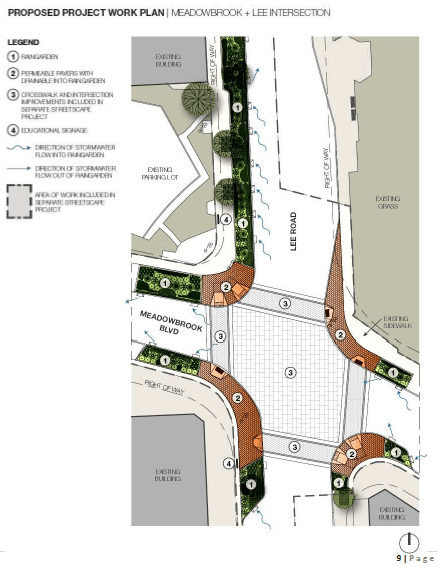
A $140,000 Ohio EPA grant will fund a landscaped area that captures storm water runoff from the road so it does not end up polluting the Dugway Brook watershed. CDM Smith engineers and Studio Techne architects are designing the project (PDF). Work is planned to start in spring of 2015 and finish in about 9 months.
Cedar Fairmount Streetscape
The City and the Cedar Fairmount Special Improvement District in 2009 completed a transportation planning and streetscape study that included bike friendly recommendations to construct a multi-purpose trail on the south side of Cedar Hill and install additional bike racks in the district. The trail would provide a crucial bike lane connection from the Cedar Fairmount commercial district to University Circle. The City received a $1.5 million Transportation Alternatives federal grant for the Cedar Fairmount streetscape project that includes this multi-purpose trail.
The City of Cleveland, recognizing the importance of bikeway connections, is now contributing to construction of a 10’-wide trail that will continue the Cedar Hill multi-purpose trail from the Cleveland Heights border at Ambleside Drive to the Lake to Lakes trail that connects to the Harrison Dillard, Euclid Avenue Healthline and Lakefront bikeways. Landscaping, pedestrian scaled lighting, bike parking, ADA-compliant curb ramps and decorative sidewalks will also be installed. Cedar Fairmount’s streetscape and trail construction is planned to start in the Fall of 2016.
Transportation Advisory Committee
In 2013, Cleveland Heights City Council created this ten-member committee to provide advice on matters relating to pedestrian, bicyclist and bus rider comfort. For more information please visit the Transportation & Environmental Sustainability Committee page.